CLIMBINGAWAY / FICHE SITE
Saint-Egrève
France · Auvergne-Rhône-Alpes
Voies200
EscaladeGrande voie-Couenne-
Cotations3a#8b
RocherCalcaire-
OrientationSW-S-
Approcheentre 1 et 15
Altitude250
01 / LE SITE
Presentación
La description de ce site n'est pas encore renseignée.
GALERIE / PHOTOS
Photos du site 3
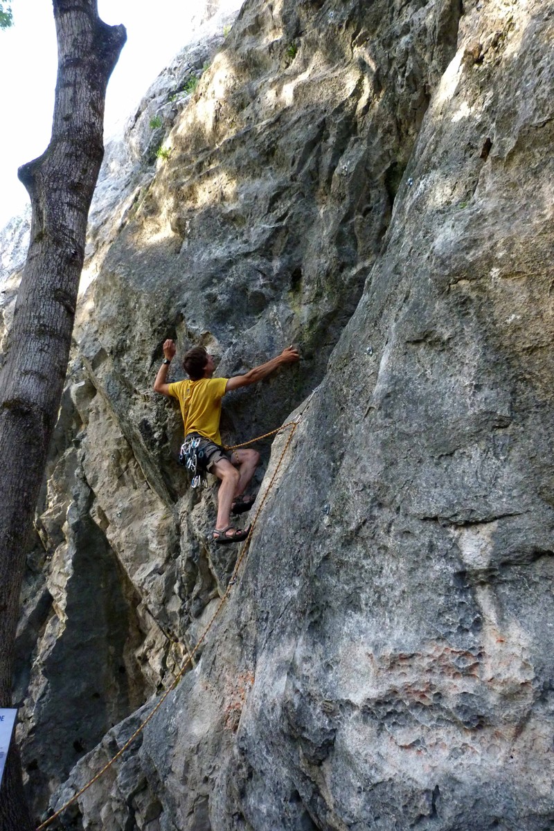
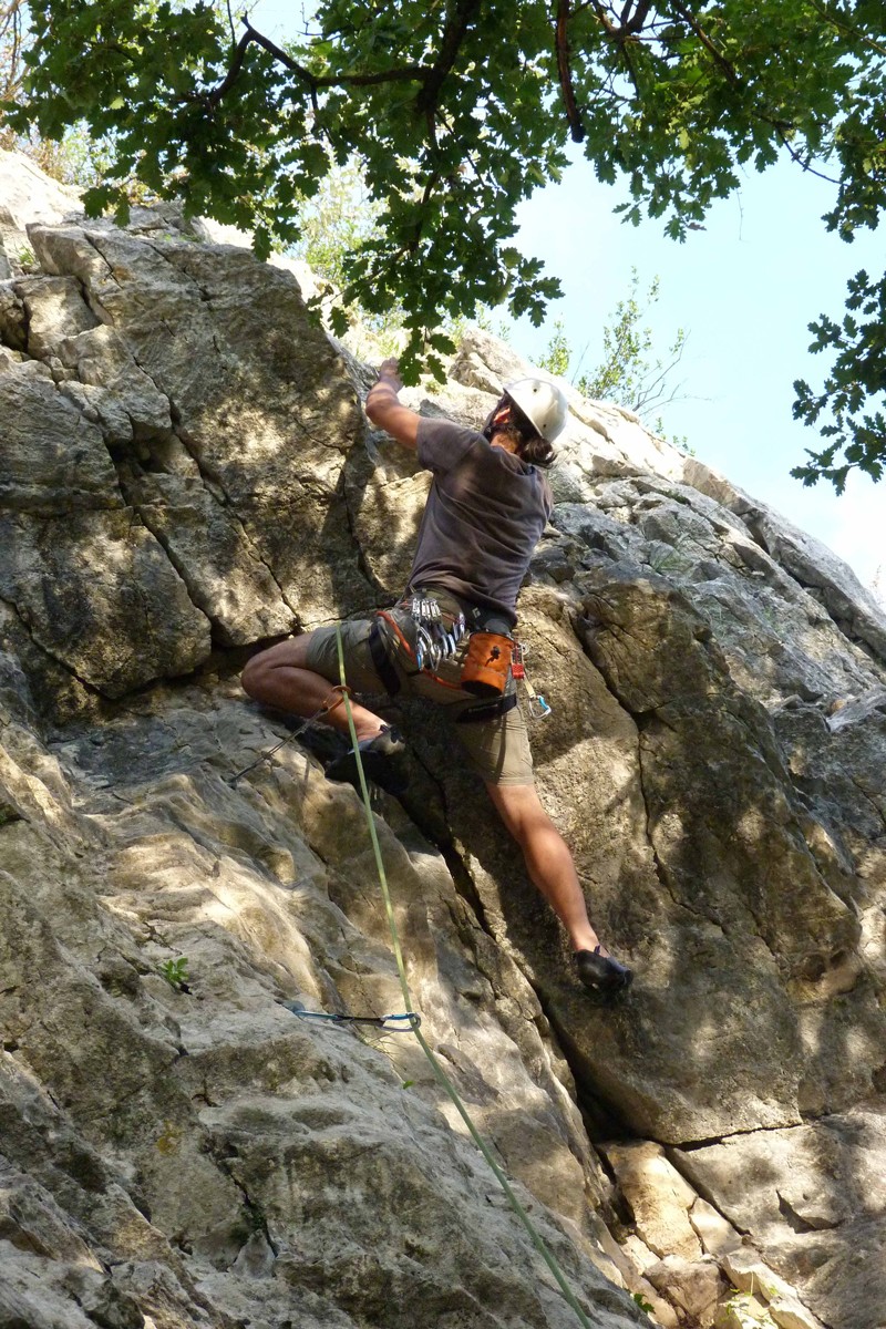
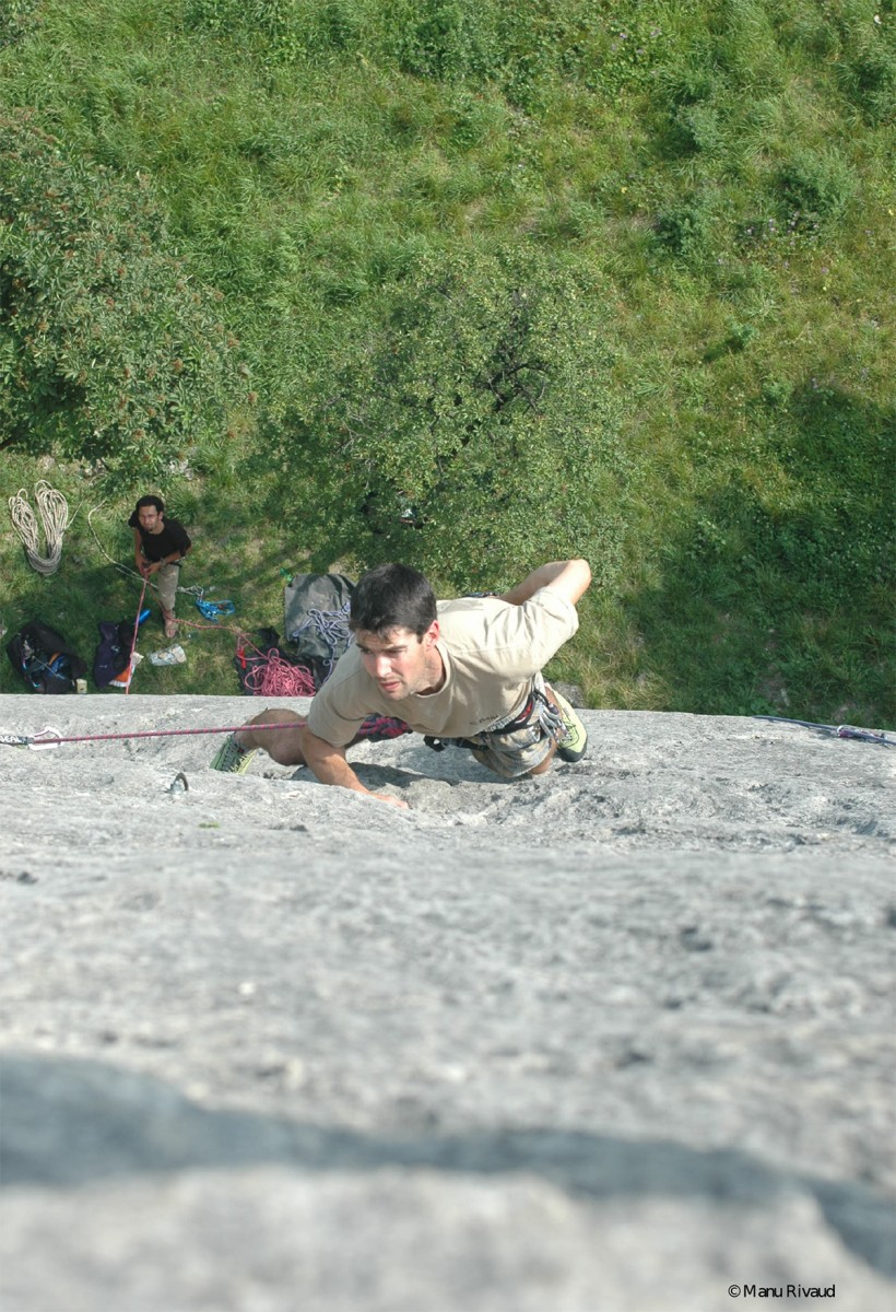
Cliquez sur une photo pour l'agrandir, puis utilisez les flèches pour naviguer.
02 / PRÉPARER SA SORTIE
Accès et informations pratiques
Conventioned area, quick access that satisfies the average level climbers and those who have little time.
CAR ACCESS
On A48 towards Lyon, take exit 14 (St Egrève Nord - Le Fontanil). Take a right and continue straight ahead until you reach the cliff. Parking on the parking spaces available on both sides of the road.
Area accessible by public transport and by bike.
CAR ACCESS
On A48 towards Lyon, take exit 14 (St Egrève Nord - Le Fontanil). Take a right and continue straight ahead until you reach the cliff. Parking on the parking spaces available on both sides of the road.
Area accessible by public transport and by bike.
ACCÈS / À PIED
Marche d'approche
Profil de marcheen montée
Pied des voiesaccidenté
Informations historiques à vérifier sur place.
03 / ESCALADE
Escalade sur ce site
Ces informations proviennent exclusivement de la fiche historique du site.
Difficultés bloc3a#3a
Difficultés couenne3a#3a
Difficultés grande voie3a#3a
Le nombre de voies est une valeur déclarative historique, pas un décompte de voies détaillées. Les cotations sont indicatives.
05 / DOCUMENTATION